
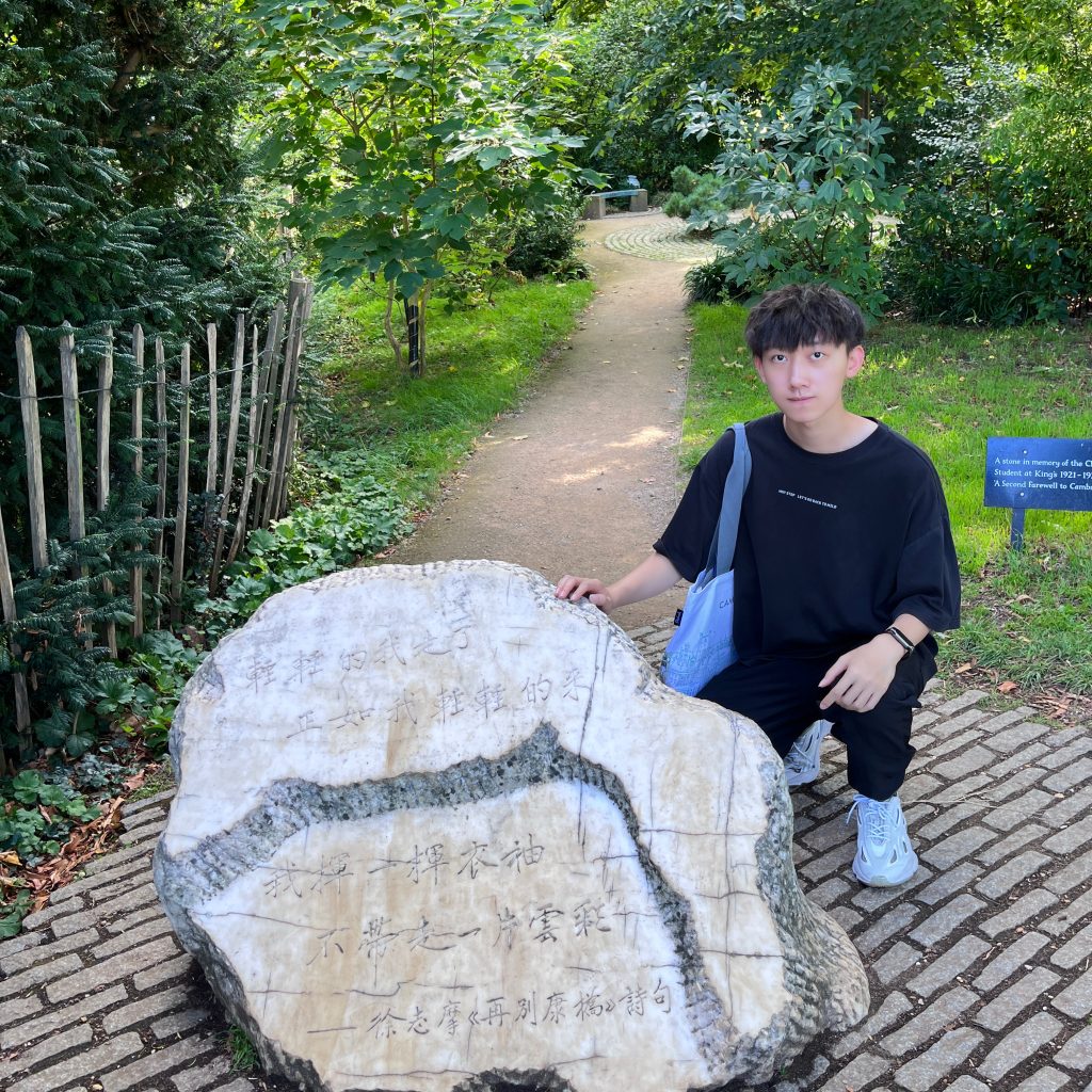
关于我
About me
我的研究探索城市大数据分析与人工智能的交叉领域。
My research explores the intersection of urban big data analysis and artificial intelligence.
具体来说,目前以深圳市“9·7暴雨”事件为例,利用手机信令分析约100万匿名用户的出行模式,开发了一种基于居民出行扰动的住区雨洪韧性评估方法,并构建住区韧性影响因素诊断预测模型,揭示灾害中“碎片化的住区韧性”时空特征。旨在为城市防灾与治理提供数据驱动的解决方案,助力构建安全、韧性与智慧的城市环境。
Specifically, using Shenzhen’s “9·7 heavy rain” event as a case study, I analyzed travel patterns of 1 million anonymous users via mobile phone data. I developed a residential flood resilience assessment method based on travel disruptions and built a diagnostic-predictive model of resilience factors, revealing the spatiotemporal characteristics of “fragmented residential resilience” during disasters.
This work aims to provide data-driven solutions for urban disaster prevention and governance, supporting the creation of safe, resilient, and intelligent cities.
研究成果
Findings
01 模型应用
Practice
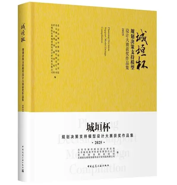
城垣杯·规划决策支持模型设计大赛获奖作品集 (2025) [M]. 北京: 中国建筑工业出版社, 2026. (出版)
Collection of award-winning works in the Chengyuan Cup Planning Decision Support Model Design Competition (2025)[M]. Beijing: China Architecture & Building Press, 2026. (Published)
我的研究热情源于通过大数据和人工智能推动城市规划治理与灾害管理的创新,并将其应用于现实世界的挑战,始终秉持严谨的分析,追求深远的实际影响。
My research passion stems from using big data and artificial intelligence to drive innovation in urban planning, governance, and disaster management, while applying these advancements to real-world challenges. I am committed to rigorous analysis and strive for profound, practical impact.



02 文章产出
Paper
成昱霖, 甘欣悦, 杨晓春*, 郭仁忠. 基于居民出行特征扰动的城市住区雨洪韧性评估及其规划启示——以深圳市为例[J]. 城市规划学刊, 2026,(2):113-120. DOI:10.16361/j.upf.202602015.
Yulin Cheng, Xinyue Gan, Xiaochun Yang*. Assessing Urban Residential Vulnerability through Mobility Data and Machine Learning: Insights from Shenzhen’s Extreme Rainstorm Event, 2026. To Be Submitted to Sustainable Cities and Society.
成昱霖, 甘欣悦, 杨晓春*. 基于雨洪韧性诊断模型的深圳住区风险地图绘制与差异化规划响应. To Be Submitted to 城市规划.
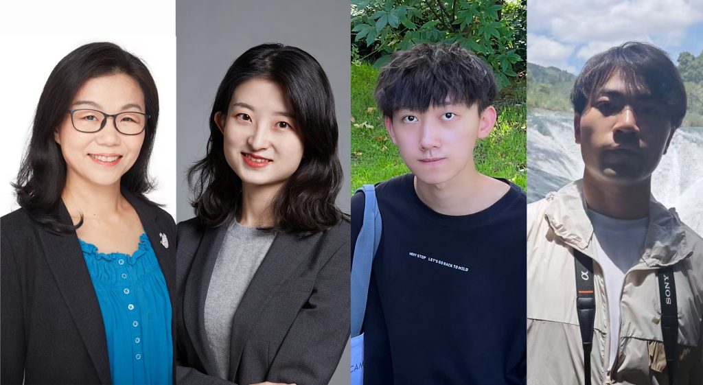
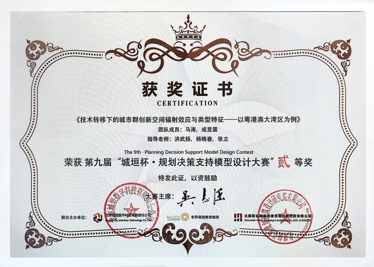
Licong Xing, Tao Ma*, Yulin Cheng, et al. Exploring the Radiation Effect and Typological Characteristics of Innovative Spaces in Technology Transfer: Evidence from the Guangdong-Hong Kong-Macao Greater Bay Area. Habitat International, 2026. (Co-author, SCI, Q1, IF = 7.0, Second revision under review)
研究特色
Characteristics
除了深入研究城市韧性与大数据交汇的学术探索,我还将研究复刻为一个操作简洁的韧性诊断可视化平台——只需上传住区的边界和属性特征,即可生成稳定且学习效果最佳的韧性诊断模型结果——以此助力数据驱动的城市治理创新。
In addition to my academic research on the intersection of urban resilience and big data, I have also transformed the research into a user-friendly resilience diagnosis visualization platform. Users only need to upload the boundary and attribute data of a residential area to generate stable and optimally performing resilience diagnosis model results. This platform aims to support data-driven innovation in urban governance.
通过平台交互式地图,可以点击各住区平面以显示SHAP值,直观了解城市住区所受影响在洪涝灾害中的时空动态特征。平台为智能城市规划和防灾策略提供了高效实用的工具,决策者不仅可以通过平面图识别本地“碎片化的住区韧性”,也可以确定在不同片区、不同灾害阶段,哪些因素最为关键。从而确保干预措施既具有空间针对性,又具有阶段针对性。
Through the platform’s interactive map, users can click on individual residential areas to view SHAP values, intuitively understanding the spatiotemporal dynamic characteristics of various influencing factors during flood disasters. The platform provides an efficient and practical tool for smart urban planning and disaster prevention strategies. Decision-makers can not only identify localized “fragmented residential resilience” through the map, but also determine the most critical factors in different districts and at different disaster stages. This enables intervention measures that are both spatially targeted and phase-specific.
具体见下方窗口模拟的旧版数据,首先需要自行向右滑动,也可直接通过放大缩小地图,使视野从初始加载的大鹏新区转至罗湖区;并通过窗口左上角选择灾中/灾后阶段各重要影响因素。
Please refer to the old-version data simulation in the window below. You may need to swipe right manually, or directly zoom in/out on the map to shift the view from the initially loaded Dapeng New District to Luohu District. You can also select key influencing factors for the during-disaster and post-disaster phases using the options in the upper left corner of the window.
研究展望
Prospects
基于当前工作,可以聚焦于利用大数据与人工智能技术推动智慧城市的规划治理。
Building on the current work, the research can focus on leveraging big data and artificial intelligence technologies to advance the planning and governance of smart cities.
1)通过细分居民出行活动类型(通勤/休闲),区分刚性出行受阻(必要出行,如工作、就医)与弹性出行主动减少(非必要出行,如休闲娱乐);
1)By segmenting residents’ travel activities (e.g., commuting vs. leisure), the study distinguishes between disrupted essential travel (necessary trips such as work or medical visits) and voluntarily reduced discretionary travel (non-essential trips such as recreation and entertainment).
2)从点(住区)、线(道路交通)、面(生活圈/社区发现)三个维度,对城市系统韧性进行全面研究:
2)A comprehensive investigation of urban system resilience will be conducted across three dimensions: point (residential areas), line (road traffic), and area (life circles/community detection):
- 点(住区):目前成果,需加强理论支撑,并构建出行扰动的复合指标体系;
- 线(道路交通):根据用户出行途径的基站点与路网进行空间拟合,得到用户出行轨迹的最可能路网节点,记录到move_rn(由于信令定位的精度限制,算法会优先与主干道路进行匹配),通过与route_node表进行关联,获取到路径经纬度信息,可以实现不同区域或者道路上出行量的统计;
- 面(生活圈/社区发现):从OD流动网络拓扑结构的演变角度定义和量化生活圈/社区的扰动,使得规划治理措施基于实际出行需求,而不局限于传统行政边界。
- Point (Residential Areas): Current achievements need stronger theoretical support, along with the development of a composite indicator system for travel disruptions.
- Line (Road Traffic): By spatially matching users’ base stations and road networks along their travel paths, the most probable road network nodes for user trajectories are identified and recorded in move_rn. Due to the positioning accuracy limitations of mobile signaling data, the algorithm prioritizes matching with major roads. By associating with the route_node table, path latitude and longitude information can be obtained, enabling statistical analysis of travel volumes on different roads or in specific areas.
- Area (Life Circles / Community Detection): Life circles and communities are defined and quantified from the perspective of changes in the topological structure of OD (Origin-Destination) flow networks. This allows planning and governance measures to be based on actual travel demand rather than being limited to traditional administrative boundaries.
基于深圳案例研究,可以将研究扩展至其他城市,开发包括暴雨洪涝、风暴潮、高温等在内的复合灾害韧性的综合评估方法,为韧性与智慧城市的发展提供科学理论与技术支持。
Based on the Shenzhen case study, the research can be extended to other cities. A comprehensive assessment framework for compound disaster resilience, including heavy rain and flooding, storm surges, extreme heat, etc. , will be developed, providing scientific theories and technical support for the development of resilient and smart cities.
最后不要忘记回到网页顶端,点击右上角“Project”浏览我的设计作品。
Don’t forget to go back to the top of the page and click “Project” in the upper right corner to browse my design works.
谢谢观看!
Thank you for watching!
© All Rights Reserved.